


Starting Sunday night, snow and rain is expected in parts of the Mid-Atlantic and Northeast. Some areas will see up to 2 inches of snow. The event should not have any impact on daily life or travel. Stay with FOX Weather for the latest.
A storm system producing severe weather in the South is expected to move north Sunday night into Monday, bringing a quick burst of snow and rain to parts of the Mid-Atlantic and Northeast.
According to the FOX Forecast Center, the system was positioned over the southern Mississippi River Valley and began tracking east along the Gulf Coast.
TORNADOES REPORTED ACROSS SOUTH AS DANGEROUS SUNDAY SEVERE WEATHER THREAT EYES GULF COAST
Ahead of the system’s movement, a warm front lifted northward, drawing increased moisture into the region.

A person walks through Boston Public Garden during heavy snow on January 25, 2026 in Boston, Massachusetts.
(Scott Eisen/Getty Images / Getty Images)
This helped support the rain that is currently impacting Delmarva, far southern New Jersey, and the Delaware Valley.
After sunset, temperatures gradually dropped. Parts of eastern Pennsylvania, New Jersey, and Long Island, NY may fall to near or just below freezing.
During this time, colder air and steady precipitation will overlap, resulting in measurable snowfall.
(FOX Weather)
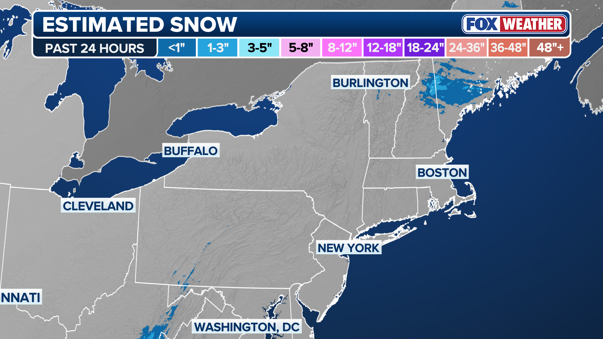
Most areas are forecast to see only a light coating, with totals generally up to 2 inches and perhaps a few isolated higher amounts. The event is not expected to significantly impact daily life or travel.
In the major urban centers, accumulation will be difficult. Marginal temperatures and the urban heat island effect will likely keep roads mainly wet, with snow sticking primarily to grassy and elevated surfaces or in less heavily traveled areas.

A man using a shovel to dig his car out after a snowstorm in New York City.
(Deb Cohn-Orbach/UCG/Universal Images Group via Getty Images / Getty Images)
Any changeover to snow will likely occur between 9 and 10 p.m. Sunday, with precipitation tapering off between 5 and 6 a.m. Monday.
If trends shift toward more persistent precipitation or a focused band of heavier snow, a narrow corridor of Winter Weather Advisories could become necessary. Based on the latest data, if that were to occur, it would most likely happen in central New Jersey, particularly north of the I-95 corridor.

A pedestrian passes snow-covered vehicles following a winter storm in Boston, Massachusetts, US, on Monday, Jan. 26, 2026.
(Mel Musto/Bloomberg / Getty Images)
However, as for right now, this looks like a marginal, low-impact event, though shifts in temperature or storm track will be worth monitoring.
Stay with FOX Weather for the latest updates on this developing system.